After a period of heavy rainfall, I headed to the Aravis massif to see the Burgeat waterfall near the village of Manigod. It was a gamble and it started raining after I reached the waterfall. Luckily, it was only a short 20 minutes walk!
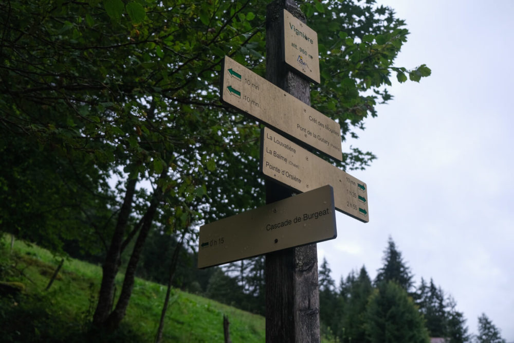
While planning my hike, I didn’t know where exactly Burgeat Waterfall was, just a rough idea. Because I didn’t see much online, I told myself I would figured it out when I get there. once there. I was surprised to see signposts!
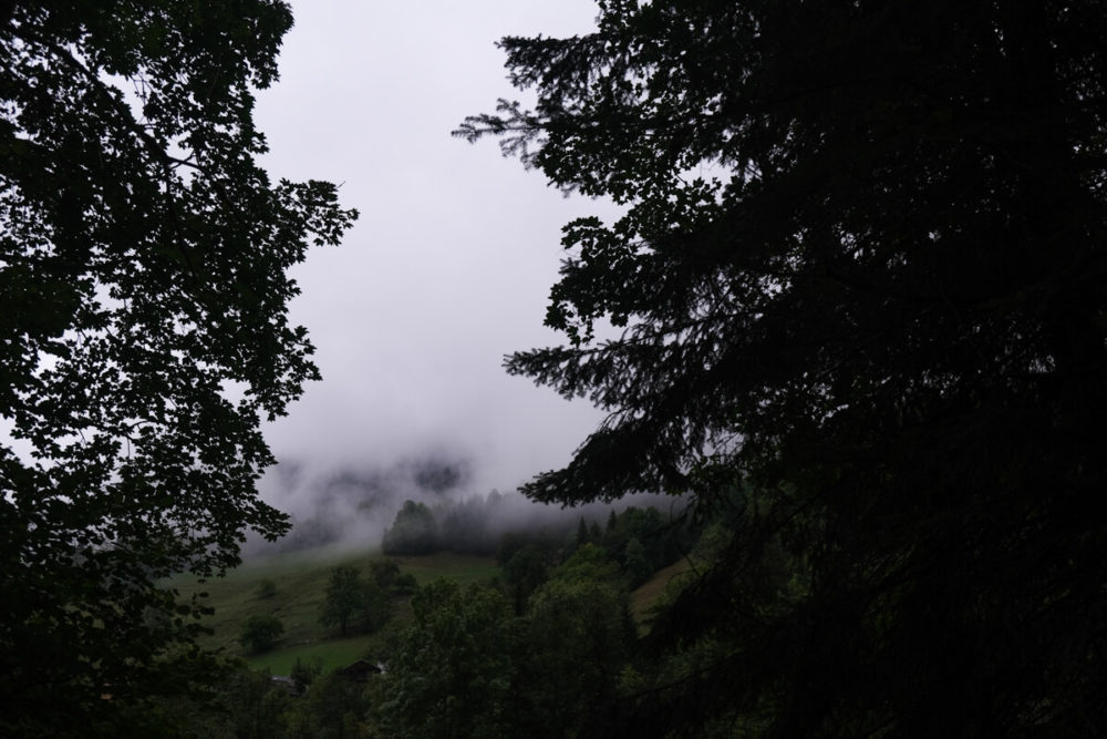
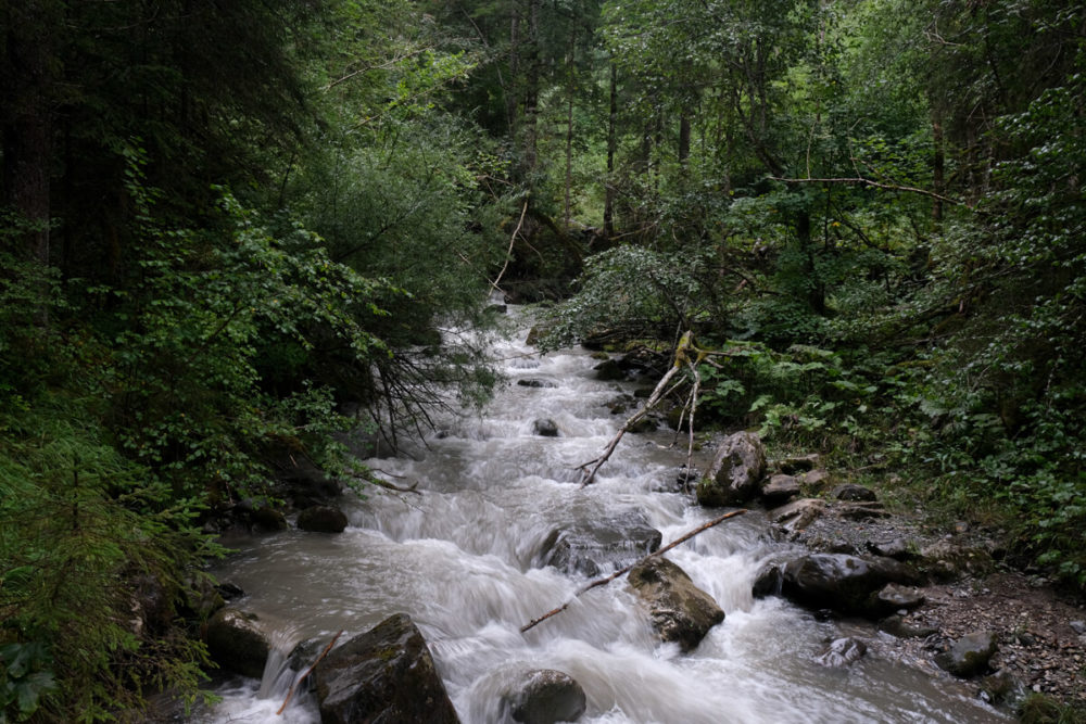
When passing through the village of Saint Ferréol, I found myself driving in thick clouds. I thought I might have to turn back but after reaching Manigod, I saw a large waterfall emerging from the clouds. I doubt it was the Burgeat waterfall because the location didn’t match. But it looked unreal I really wished I had the drone with me! (although it isn’t waterproof!). When I arrived at the Gutary bridge, the mountains were still in the clouds. “Waterfall chasing” is perfect on a cloudy day, provided that it doesn’t rain…
Itinary: the Burgeat waterfall in Manigod
From the “car park”, there are 2 starting paths. I went with the one to the left of the stream, but the waterfall isn’t signposted from it. It is therefore better to take the one that passes in front of the chalets. I added the starting point on the map to make it easier (see the end of this article). The sign indicate 40 minutes for the hike, but it’s more like 20 minutes to reach it. When reaching the Fier torrent, I cross the bridge and the waterfall is indicated (very roughly) on a tree.
The path continues to the right, on a large path for about 100 meters. Another sign reads “Cascade du Nant Burgeat” indicating the path on the left.
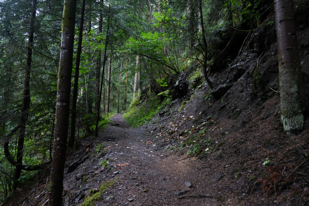
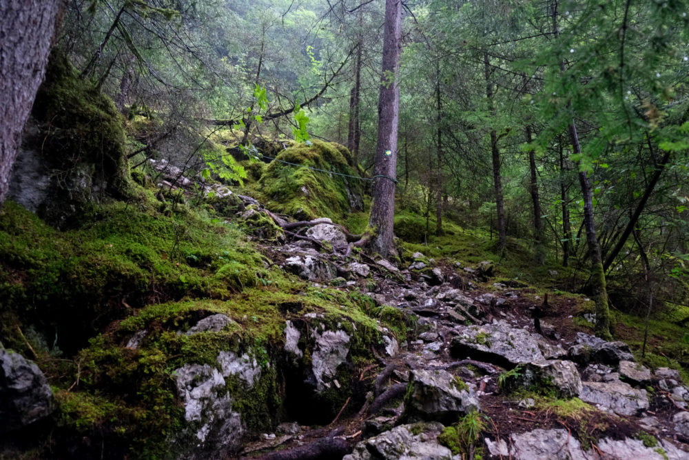
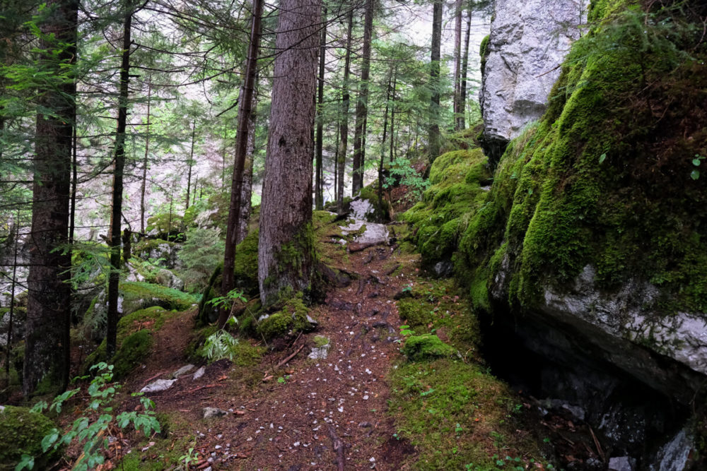
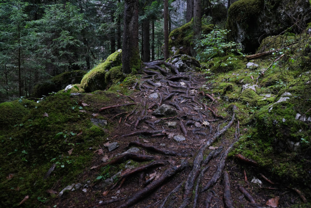
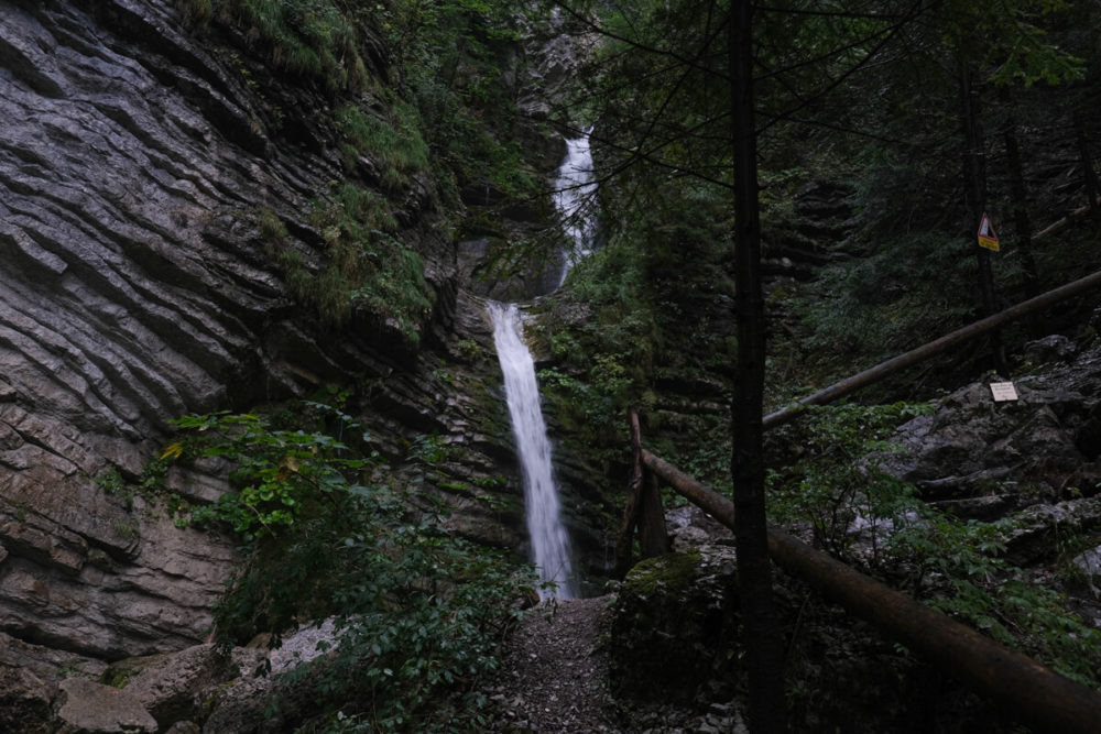
From there, it’s a walk through the forest and the path becomes narrower. Before reaching the waterfall, the path becomes more and more rugged.
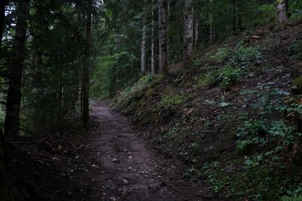
A rope has been installed: practical when it rains, especially for going back.
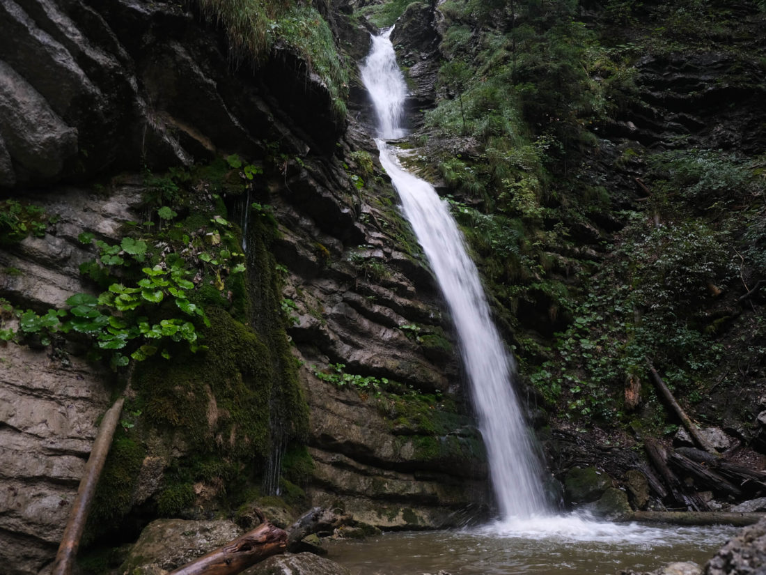
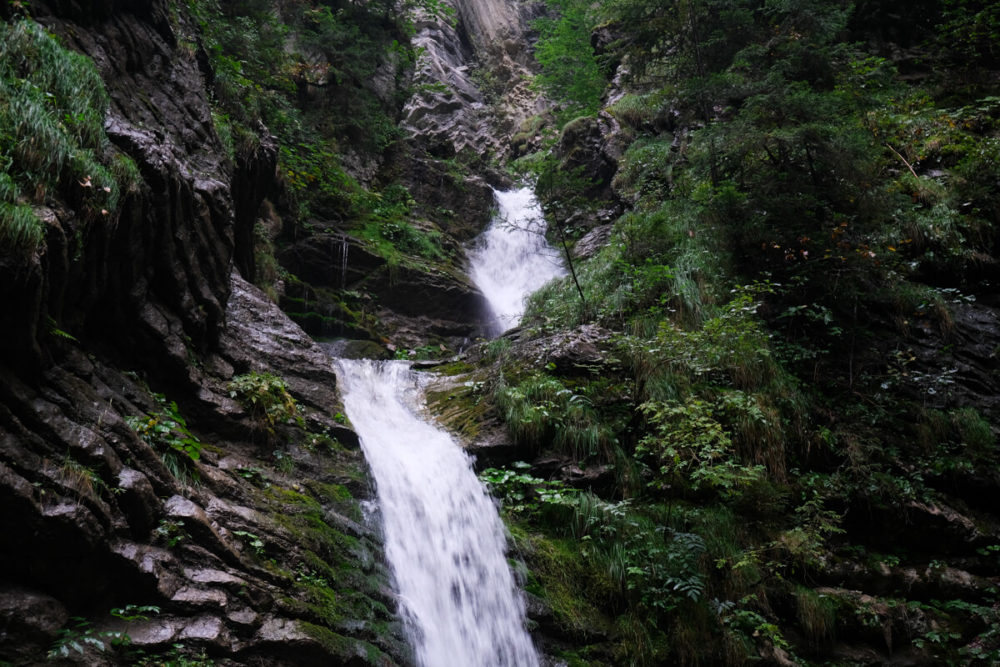
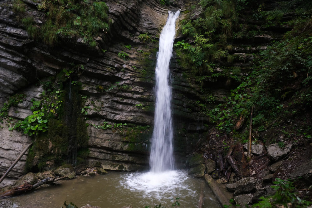
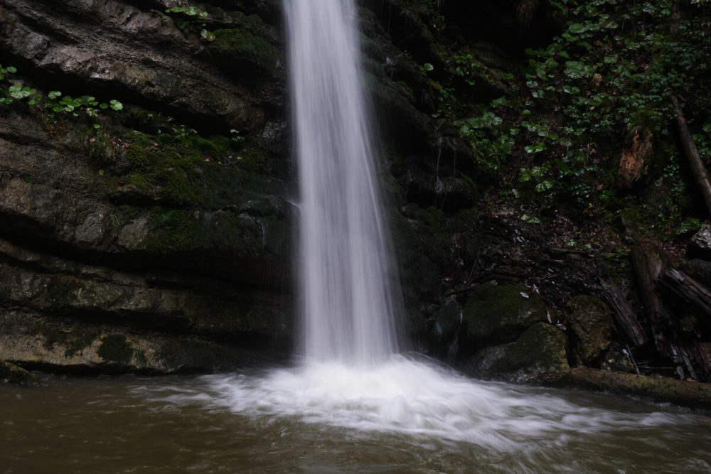
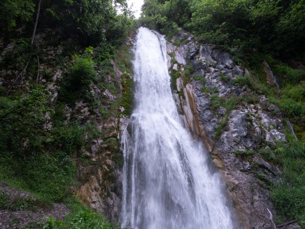
The path ends at the bottom of the waterfall. I came here at the end of the summer, after heavy rainfalls and the flow was still great. It must be really impressive in Spring! The waterfall often freeze in winter and is then mostly frequented by ice climbing lovers.
INFORMATION
River: Nant Bargat
Start: Pont de la Gutary
Hike time: 30-40 minutes (return)
Altitude at the top: 1 100 m
Altitude at the start: 960 m
Elevation: 140 m
Distance from Annecy: 30 km
Access
The car park is located right next to the Gutary bridge.
Address: Chemin rural des bois noir.
Read next
Fontany waterfall in Saint-Ferréol
The Fontany waterfall is a short, little-known walk close to Lake Annecy in the Bornes Massif.
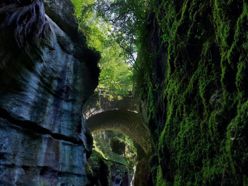
Annecy: the Gorges du Fier
The Gorges du Fier is a natural site near Annecy: the erosion of water has dug a narrow canyon that can be visited from March to October.
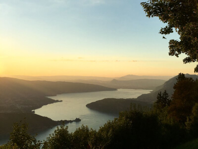
Lake Annecy: le col de la Forclaz
A spectacular paragliding takeoff site on the heights of Annecy with a superb view of the lake.